ASTRONOMY TELESCOPE TRAINING
AIMS project with Jabatan Ukur dan Pemetaan Malaysia.

Putrajaya on November 2022
Loading

AIMS project with Jabatan Ukur dan Pemetaan Malaysia.
Intensive Training Course on Sientrex CG-6 autograv mapping equipment and data management system with JUPEM.
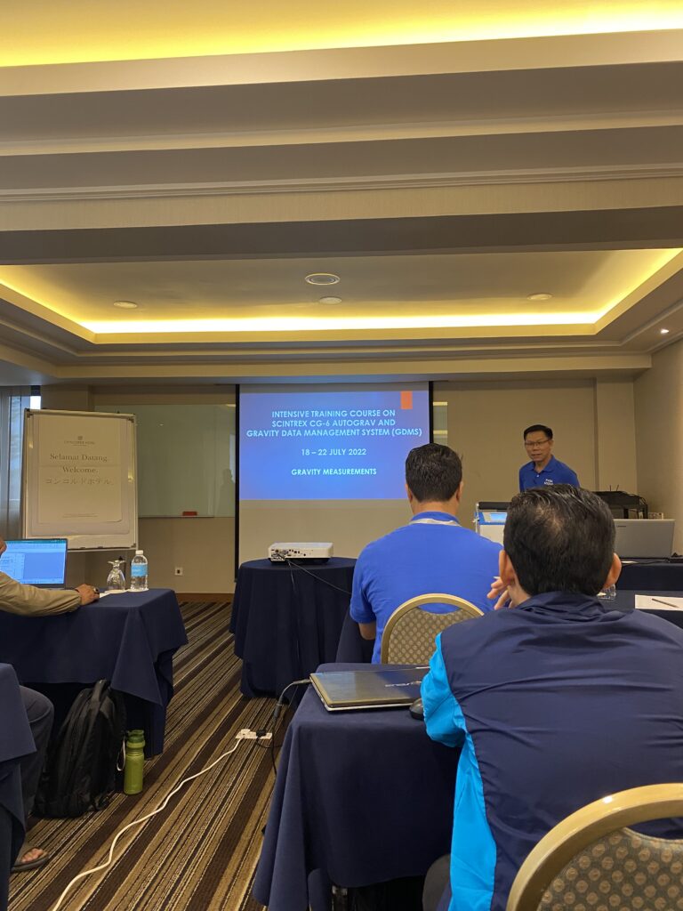
Explaination of the data management system presented by Mr. David Chang at
Concorde Hotel, Kuala Lumpur on July 2022.
Training mobile data scanning with Topcon personnel.

Mobile data scanning training with Topcon personnel using IP-S3 at Stadium Shah Alam on May 2022.
A technology that uses a mobile vehicle and 3D laser scanner to capture and analyze the environment.

Sharing session from USSSB team on how to capture and analyze the data at
Avillion Port Dickson on May 2022.
BMS3D backpack mobile scanning system, which embedded 360° camera.

USSSB team was testing and make demonstrations on how to operate the mobile
scanning equipment area Port Dickson beach on May 2022.
A set of ethical and scientific quality standards for designing, conducting, recording and reporting trials that involve human subjects.

GCP data observation by USSSB team at Kedah on April 2022.