


SURVEY AIR SPACE
Project that involves marking the air space boundaries.
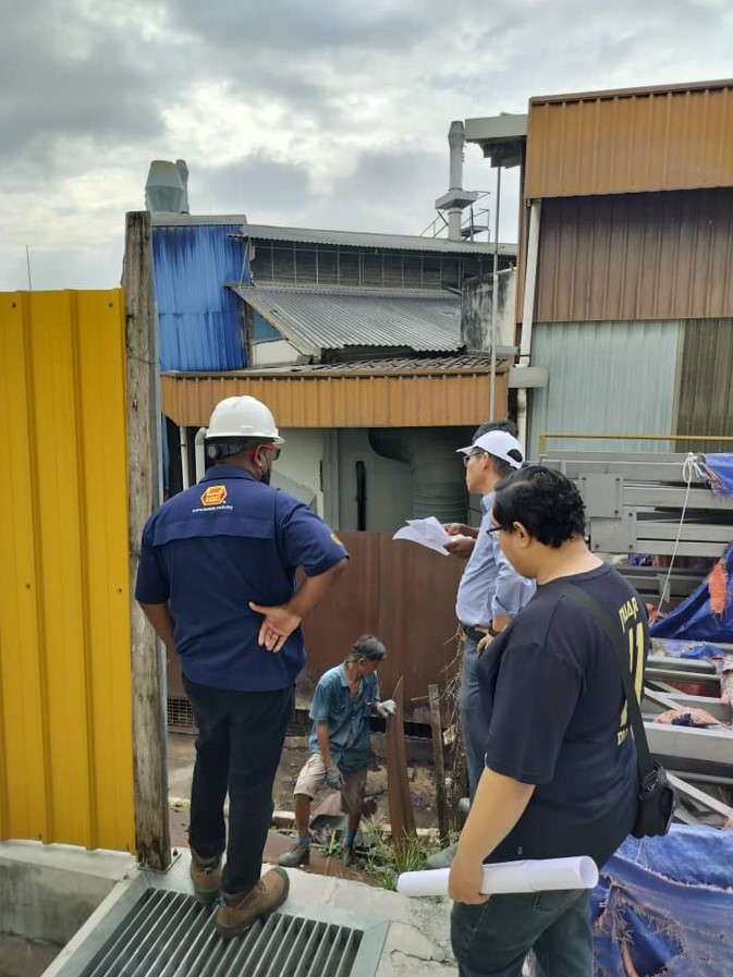
Air Space Site Visit on Jan 2025
Loading


Let us collaborate with you to help advance your projects, ideas, or technology. We can provide resources, expertise, and support to drive innovation and development. We would be your strategic partner, technology provider, consultant, that plays a key role in supporting and accelerating your growth and innovation efforts.
We are dealing in all Geomatics Survey Professional & ICT Services. We are dealing in all Geomatics Survey Professional & ICT Services. We are dealing in all Geomatics Survey Professional & ICT Services.


This is our updated projects gallery. We strive our best to serve our customers.
Project that involves marking the air space boundaries.
Air Space Site Visit on Jan 2025
Institut Sosial Malaysia (ISM) ICT rental.
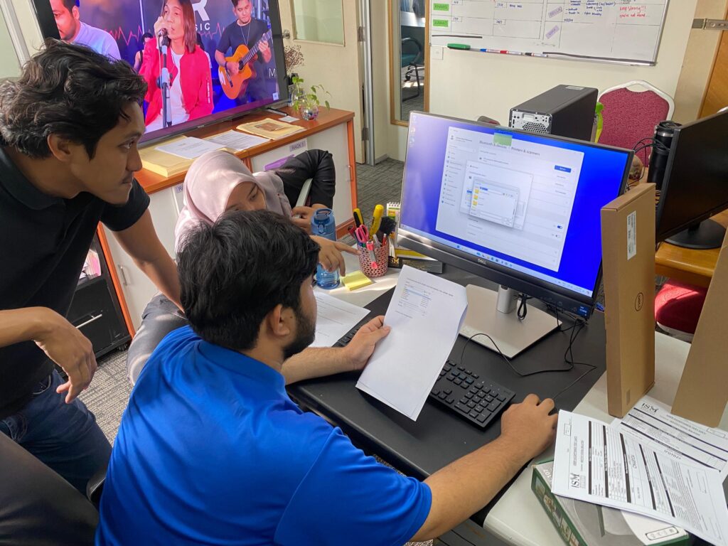
Setting up ICT equipment at ISM at Kuala Lumpur on May 2024
PMU is a device that measures voltage and current at specific transmission system stations. PMU measurements are used to evaluate asset health conditions by analyzing the signal to noise standard deviation.

Site Visit for Mobile Data Scanning at OUG on Sept 2023
MyKiblat apps development with JUPEM.

Final Acceptance Test (FAT) for MyKiblat apps with JUPEM at Masjid Tuanku Mizan
Zainal Abidin on July 2023
Demonstrations of Wingtra Drone by Global-Trak System.

Team Global-Trak System was conducting the demonstration by flying the Wingtra Drone.
AIMS project with Jabatan Ukur dan Pemetaan Malaysia.

Intensive Training Course on Sientrex CG-6 autograv mapping equipment and data management system with JUPEM.
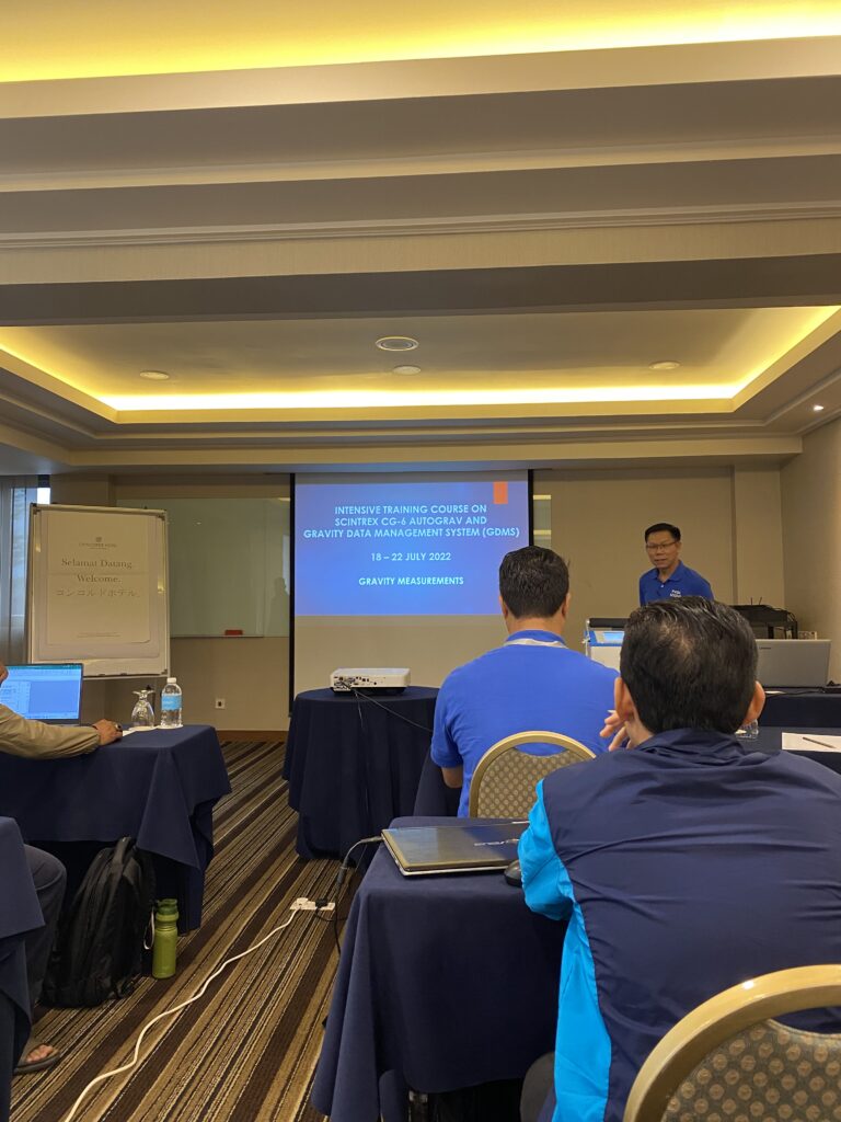
Explaination of the data management system presented by Mr. David Chang at
Concorde Hotel, Kuala Lumpur on July 2022.
Training mobile data scanning with Topcon personnel.

Mobile data scanning training with Topcon personnel using IP-S3 at Stadium Shah Alam on May 2022.
A technology that uses a mobile vehicle and 3D laser scanner to capture and analyze the environment.

Sharing session from USSSB team on how to capture and analyze the data at
Avillion Port Dickson on May 2022.
BMS3D backpack mobile scanning system, which embedded 360° camera.

USSSB team was testing and make demonstrations on how to operate the mobile
scanning equipment area Port Dickson beach on May 2022.
A set of ethical and scientific quality standards for designing, conducting, recording and reporting trials that involve human subjects.

GCP data observation by USSSB team at Kedah on April 2022.
Annual event for our company.

USSSB annual dinner at Jogoya, Kuala Lumpur on December 2021.
It has many uses including generating electricity, excavating and in hydroponics and aerospace.

USSSB team was testing the hydro equipment on March 2021.
A high-end, large format digital aerial camera system developed by Vexcel Imaging. It was designed to capture high-resolution aerial imagery with exceptional geometric and radiometric accuracy, primarily used for professional mapping and surveying applications.

Site visit for aerial photogrammetry mapping at Sabah on September 2016.